Record heat levels globally have led to significant health and infrastructure strains. Research advises both public system upgrades and personal…
Read More »NASA Earth Observatory
Satellite image of the North York Moors in Yorkshire, England captured on December 26, 2023, by the Operational Land Imager-2…
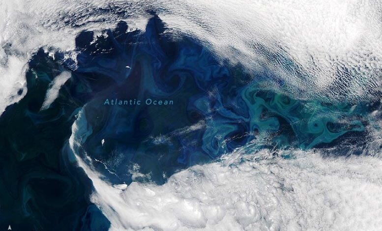
Read More »Satellite image of a striking phytoplankton bloom in the North Atlantic captured on June 16, 2024, by the Moderate Resolution…
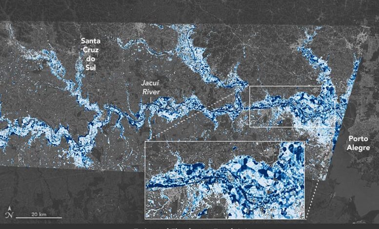
Read More »This map shows estimates of flood depth in areas west of Porto Alegre, Brazil on May 6, 2024. In 2024,…
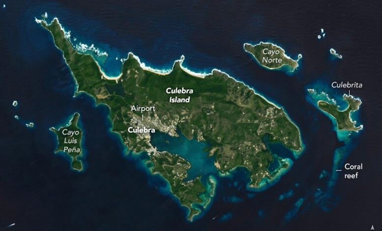
Read More »Satellite view of Culebra Island captured on February 10, 2024, by the Operational Land Imager on Landsat 8. The remote…
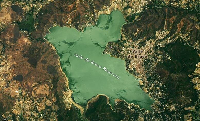
Read More »Satellite view of water in Valle de Bravo reservoir in Mexico captured on May 20, 2022, by the OLI on…
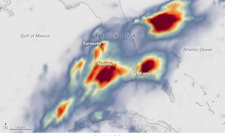
Read More »This map shows rainfall accumulation around Florida for the 24-hour period starting at 00:00 Universal Time on June 11 (8…
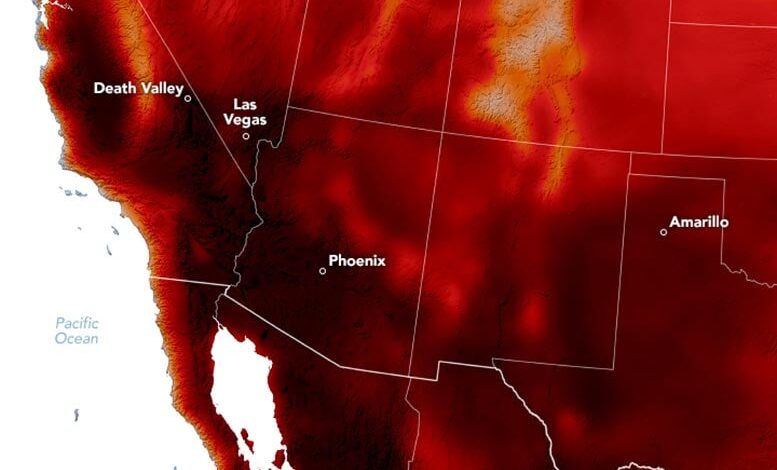
Read More »Map showing air temperatures across the U.S. Southwest and northern Mexico on June 6, 2024. An early summer heat wave…
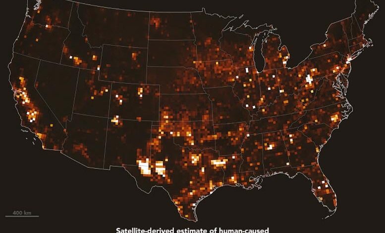
Read More »Recent satellite and atmospheric analyses indicate U.S. methane emissions for 2019 exceeded EPA’s estimates, with significant discrepancies found in oil,…
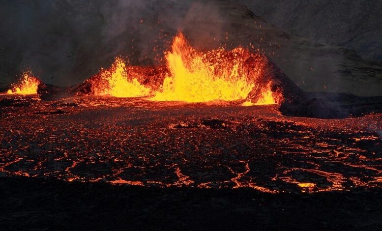
Read More »A volcanic fissure on Iceland’s Reykjanes peninsula erupted in late May 2024, marking the continuation of a series that began…
Read More »

